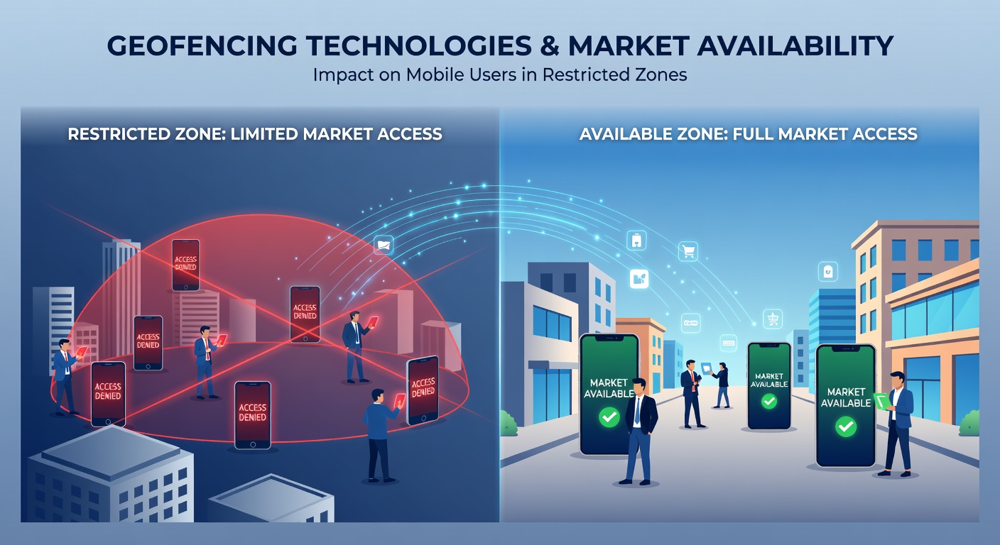
Geofencing Technologies and Their Impact on Market Availability for Mobile Users in Restricted Zones
 Geofencing relies on GPS, WiFi signals, and cellular data to create virtual boundaries around specific geographic areas, and mobile devices trigger actions when they cross those lines. Developers integrate these systems into apps and platforms so that content, services, and product availability adjust automatically based on a user's real-time location. This setup lets companies enforce regional restrictions without requiring manual intervention from users or support teams.
How Geofencing Determines Access
Companies define perimeters using latitude and longitude coordinates combined with radius measurements that range from a few meters to several kilometers. When a smartphone enters or exits the zone, the operating system notifies the installed application, which then modifies what appears on the screen. Data from multiple sources improves accuracy because GPS alone can drift in urban canyons while WiFi triangulation fills gaps indoors. Observers note that hybrid approaches reduce false positives, allowing markets to stay available only where regulations or licensing agreements permit.
Market availability changes when the device location matches or violates predefined rules, so users in restricted zones often see altered catalogs, disabled features, or complete blocks. Retail platforms adjust inventory displays while streaming services swap libraries or disable playback entirely. Those who've studied implementation patterns report that the switch happens within seconds once the boundary is crossed, creating seamless yet noticeable differences in what mobile users can access.
Regional Regulations Shape Implementation
Government agencies establish the legal frameworks that dictate where geofencing must activate. The Federal Communications Commission in the United States oversees spectrum use and location accuracy standards that affect how precisely apps can enforce boundaries. In Canada the Canadian Radio-television and Telecommunications Commission requires certain services to respect provincial licensing limits through similar location controls. Australian authorities apply comparable requirements for content classification and age-restricted offerings. These rules evolve, and updates scheduled for review in May 2026 may tighten accuracy thresholds or expand reporting obligations for platforms operating across borders.
European regulators focus on cross-border data flows and user consent mechanisms that influence how geofencing data gets collected and stored. Companies must balance enforcement with privacy expectations, which leads to varied approaches across member states. Research from academic institutions shows that consistent enforcement correlates with lower rates of unauthorized access attempts in tightly regulated zones.
Effects on Mobile User Experiences
Mobile users encounter different product selections, pricing structures, and feature sets depending on their detected position. Someone traveling between zones might notice an app suddenly offering fewer options or prompting location verification before restoring full functionality. Service providers log these events to demonstrate compliance, yet the process remains invisible to most people until access changes occur.
Network operators sometimes partner with application developers to refine detection methods, which improves reliability in areas with dense building interference. Figures from industry reports indicate that hybrid detection reduces location errors by up to 40 percent compared with GPS-only solutions. Users benefit from fewer erroneous blocks while regulators gain assurance that restrictions hold where required.
Technical Challenges and Refinements
Accuracy remains a persistent issue because tall structures, tunnels, and weather conditions can shift reported positions. Developers respond by layering multiple signals and applying machine learning models that predict likely movement patterns. These refinements help maintain market availability consistency even when primary signals weaken momentarily.
Security concerns arise when spoofing tools attempt to bypass boundaries, prompting additional verification layers such as device attestation or secondary checks against known network identifiers. Organizations track emerging spoofing techniques and update detection protocols accordingly. Data from research papers published in 2025 highlight ongoing improvements in distinguishing genuine location reports from fabricated ones.
Future Developments Around May 2026
Stakeholders anticipate further integration of 5G positioning data that promises sub-meter accuracy in supported areas. Such precision could expand geofencing use to smaller zones like individual venues or transport hubs. Regulatory reviews planned for May 2026 may introduce standardized reporting formats that allow agencies in different regions to compare enforcement outcomes more effectively.
Industry groups continue testing frameworks that combine geofencing with user-controlled privacy settings, giving individuals options to limit location sharing while still enabling necessary compliance checks. These experiments aim to reduce friction without weakening the restrictions that protect licensed markets.
Conclusion
Geofencing technologies continue to define where mobile users can access specific markets by translating physical location into digital permissions. Regulatory bodies across multiple continents maintain oversight through accuracy standards and reporting requirements, while technical refinements address detection challenges. As systems advance toward 2026, the balance between compliance, accuracy, and user experience will determine how restricted zones function in practice.